


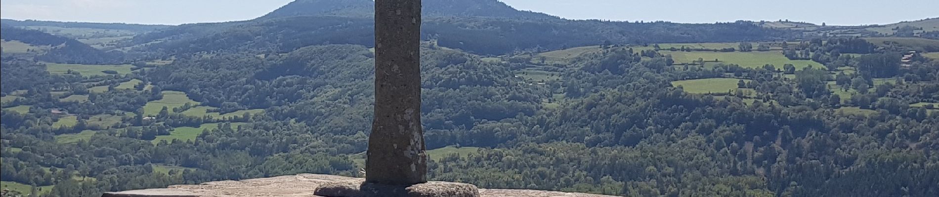
E1 Le Puy En Velay - Le Monastier GR 70

Kargil
User GUIDE

Length
20 km

Max alt
990 m

Uphill gradient
714 m
Km-Effort
29 km

Min alt
623 m

Downhill gradient
459 m
Boucle
No
Creation date :
2018-09-08 05:16:53.104
Updated on :
2018-09-21 18:23:24.797
6h18
Difficulty : Difficult

FREE GPS app for hiking
 SityTrail
IGN / Geographical institutes
SityTrail Plus
The world is yours!
About
Trail Walking of 20 km to be discovered at Auvergne-Rhône-Alpes, Haute-Loire, Le Puy-en-Velay. This trail is proposed by Kargil.
Photos


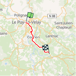
Positioning
Country:
France
Region :
Auvergne-Rhône-Alpes
Department/Province :
Haute-Loire
Municipality :
Le Puy-en-Velay
Location:
Unknown
Start:(Dec)
Start:(UTM)
569798 ; 4988467 (31T) N.
Comments